Introducing — Drone Augmented Reality
Built to expand what drones can do well
Dronial adds critical mapping and location data directly into the live drone view, helping pilots see more than the camera alone can show.
See more. Know more.
Critical data, in the live view
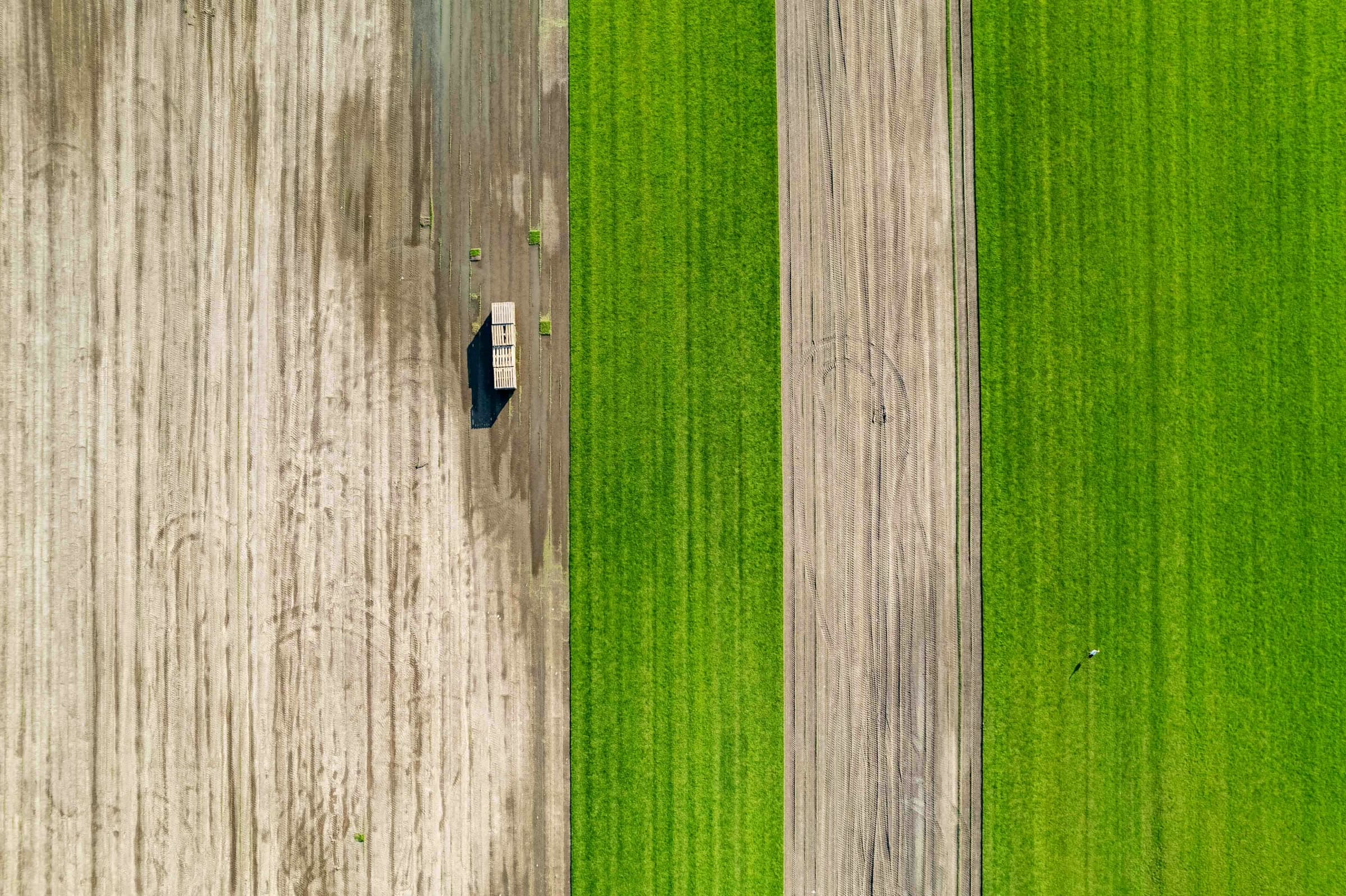
From property boundaries and construction layouts to outage markers, hidden infrastructure, and search locations — the context to work faster, navigate smarter, and take on missions that are difficult or impossible with video alone.
Where it works
Built for commercial operators
Land & real estate · infrastructure inspection · utilities · construction · public safety.
Dronial seeks to bridge that gap
Not just seeing the world from above — understanding it
A platform of Drone AR apps that bring digital information into the live drone experience for real-world commercial use.
Ready to accelerate? Let’s talk.
Connect with the team
The contact form + early-access signup arrives in a later phase. Phone +1 (321)-DRONIAL, 9am–5pm CST.